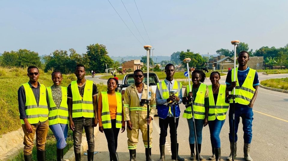
Land and valuation surveying
Global Positioning Systems (GPS) , Boundary opening and topographical surveys
Download Catalog

3-D control extension and assessment, Executing topographical surveys, Map digitization, Drawing of plans and generation of contours, Production of cross and longitudinal sections to aid in designing